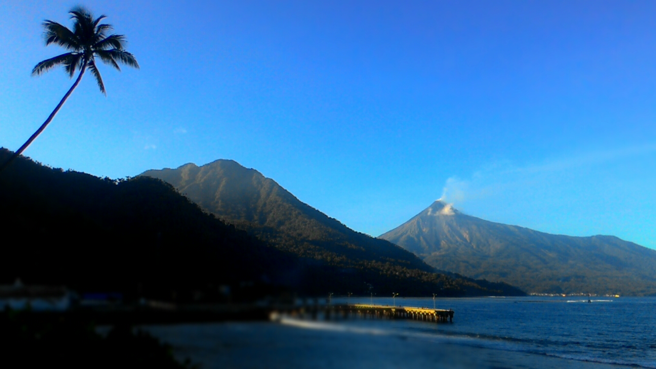
SITAROMount Karangetang on Siau Island in North Sulawesi's Sitaro Archipelago erupted twice on Sunday afternoon, November 22, 2026, accompanied by incandescent lava avalanches. Nadhif Dhaifullah, an observer at the Karangetang Volcano Observation Post under Indonesia's Center for Volcanology and Geological Hazard Mitigation (PVMBG), reported that the twin blasts occurred at 16:29 WITA and 17:43 WITA, sending dense ash plumes up to 1,000 meters above the summit.
During the first eruption at 16:29 WITA, thick white-to-gray ash rose roughly 1,000 meters above the crater rim—reaching 2,784 meters above sea level—and drifted eastward. Seismic instruments recorded a maximum amplitude of 50 millimeters lasting around 2 minutes and 32 seconds, while a small explosive burst from the northern crater sent glowing lava debris tumbling 200 to 500 meters down the southern flank.
What danger zones did PVMBG set around Karangetang?
PVMBG maintained Mount Karangetang's alert at Level II (Waspada), barring residents and tourists from entering a 1.5-kilometer radius around both the northern and main southern craters alongside a 2.5-kilometer sectoral extension to the south and southwest. Officials distributed the advisory through the Sitaro volcano monitoring channel in Manado, urging climbers and visitors to stay completely outside the mapped hazard perimeter.
In the second blast at 17:43 WITA, a dense white-to-gray ash column rose approximately 500 meters above the summit, or 2,284 meters above sea level, drifting toward the east and southeast. Seismographs logged another 50-millimeter maximum amplitude event lasting roughly 56 seconds as small northern-crater explosions triggered fresh incandescent rockfalls extending 100 to 400 meters southward.

Why are riverside communities warned of lahar floods?
Communities living along riverbanks originating near Karangetang's summit were urged to prepare for rain-triggered volcanic mudflows, known locally as lahar, and flash floods capable of sweeping downstream all the way to the coast. Volcanologists also warned that unstable older lava deposits perched near the rim could collapse without warning, generating sudden rockfalls or pyroclastic flows toward the southern, southeastern, western, and southwestern valleys.
Why it matters for Indonesia: repeated explosive bursts at one of eastern Indonesia's most active island volcanoes underscore the need for strict adherence to PVMBG's 1.5-to-2.5-kilometer exclusion zone across Sitaro. Following official volcano bulletins and river-corridor warnings helps local authorities protect coastal villages from sudden pyroclastic slides and seasonal lahar hazards without triggering false-alarm evacuations.